Towns, cities and streets · imported, unverified
Most Brama Przemyska
bridge
municipality and region not yet available · Poland
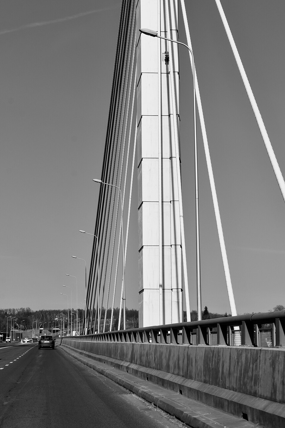
Most Brama Przemyska w Przemyślu – drogowy most wantowy przez rzekę San w ciągu wschodniej obwodnicy Przemyśla łączącej drogę krajową nr 77 z drogą krajową nr 28. Obwodnica pozwala wyeliminować ruch tranzytowy z centrum miasta i ułatwia dojazd do przejścia granicznego z Ukrainą w Medyce. Most wantowy z estakadą dojazdową o łącznej długości 530 metrów, wsparty jest na dwóch pylonach o wysokości 61,5 metra.
Text: Wikipedia: Most Brama Przemyska (opening paragraph, possibly shortened), licensed under CC BY-SA 4.0. Contributors are listed in the article history. This text may be redistributed under the same terms.
Description available only in the original language for now.
Coordinates
49.79788, 22.78443

Coordinates of the feature; for paths and areas, these mark the centre, not a shooting position.
Navigation and sources
Imported data, not yet checked by a person. © OpenStreetMap (ODbL)