Architecture · imported, unverified
Starokatolický kostel
ruins
Děčín · Ústecký kraj · Czech Republic
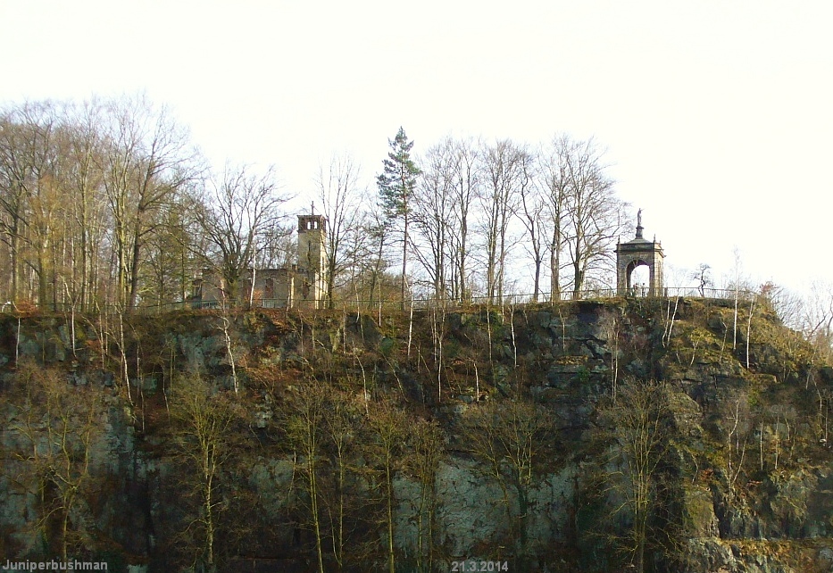
The Old Catholic Church was built on the northern outskirts of Děčín in the early 1930s. It stands at the foot of Kvádrberk on a rocky elevation called Šibeniční (also Popravčí) vrch (157 m above sea level) near the Děčín–Hřensko road. Adjacent to the Neo-Romanesque nave is a modern prismatic tower with windows at the belfry level. In recent decades, the church has seen several different occupants.
Text: Wikipedie: Starokatolický kostel (Děčín) (opening paragraph, possibly shortened), licensed under CC BY-SA 4.0. Contributors are listed in the article history. This text may be redistributed under the same terms.
Description machine-translated from the original text; help us fix any mistakes. Report an error
Coordinates
50.78606, 14.22266

Coordinates of the feature; for paths and areas, these mark the centre, not a shooting position.
Navigation and sources
Imported data, not yet checked by a person. © OpenStreetMap (ODbL)