Landscapes and viewpoints · imported, unverified
Dolina Pięciu Stawów Polskich
Brzegi · województwo małopolskie · Poland
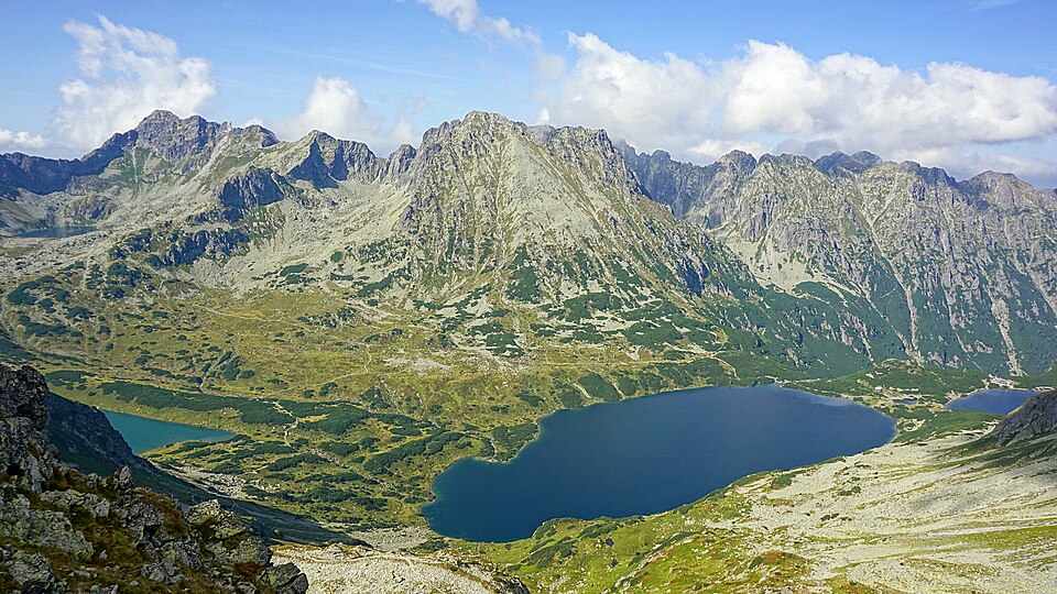
A postglacial valley in the High Tatras situated at an altitude of 1625–1900 m a.s.l. with an area of 5.5 km². Several postglacial lakes are located here, including Wielki Staw Polski, Zadni Staw, and Przedni Staw.
Text: Wikipedia: Dolina Pięciu Stawów Polskich (opening paragraph, possibly shortened), licensed under CC BY-SA 4.0. Contributors are listed in the article history. This text may be redistributed under the same terms.
Description machine-translated from the original text; help us fix any mistakes. Report an error
Coordinates
49.21013, 20.02805

Coordinates of the feature; for paths and areas, these mark the centre, not a shooting position.
Navigation and sources
Imported data, not yet checked by a person. © OpenStreetMap (ODbL)