Water · imported, unverified
Vodní nádrž Bedřichov
reservoir
Bedřichov · Liberecký kraj · Czech Republic
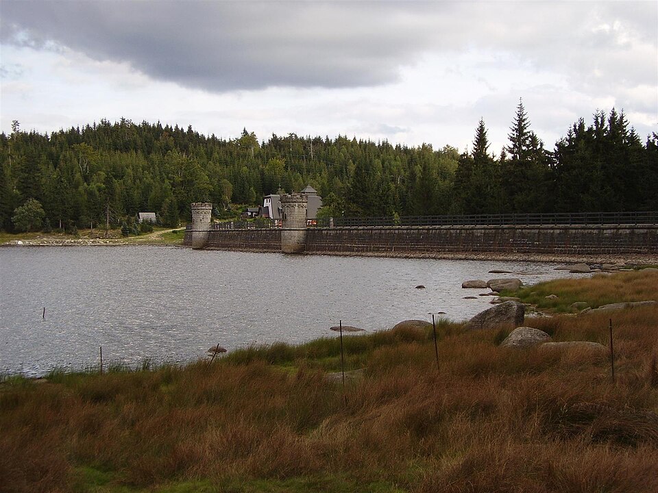
Vodní nádrž Bedřichov, also called Bedřichovská přehrada (German: Friedrichswalder Talsperre) or Přehrada na Černé Nise, is the highest dam reservoir in Jizerské hory. Located in Bedřichov on the Černá Nisa river, its dam crest sits at an altitude of 775.26 m above sea level. The dam is 340 m long and 23.5 m high.
Text: Wikipedie: Vodní nádrž Bedřichov (opening paragraph, possibly shortened), licensed under CC BY-SA 4.0. Contributors are listed in the article history. This text may be redistributed under the same terms.
Description machine-translated from the original text; help us fix any mistakes. Report an error
Coordinates
50.82011, 15.13836

Coordinates of the feature; for paths and areas, these mark the centre, not a shooting position.
Navigation and sources
Imported data, not yet checked by a person. © OpenStreetMap (ODbL)