Water · imported, unverified
V. n. Opatovice
reservoir
Vyškov · Jihomoravský kraj · Czech Republic
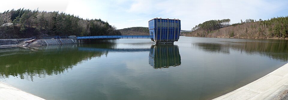
Vodní nádrž Opatovice was created by flooding about 70 ha of the Malá Haná river valley and completed in 1972. The embankment dam is up to 36 m high, water depth at the base reaches around 33 m, and retained volume is roughly 10,000,000 m³. It provides quality drinking water for Vyškov, Bučovice, and the surrounding area. Protected species such as clams and crayfish live here.
Text: Wikipedie: Vodní nádrž Opatovice (opening paragraph, possibly shortened), licensed under CC BY-SA 4.0. Contributors are listed in the article history. This text may be redistributed under the same terms.
Description machine-translated from the original text; help us fix any mistakes. Report an error
Coordinates
49.31186, 16.91873

Coordinates of the feature; for paths and areas, these mark the centre, not a shooting position.
Navigation and sources
Imported data, not yet checked by a person. © OpenStreetMap (ODbL)