Towns, cities and streets · imported, unverified
Lanový most (Praha)
bridge
Praha · Czech Republic
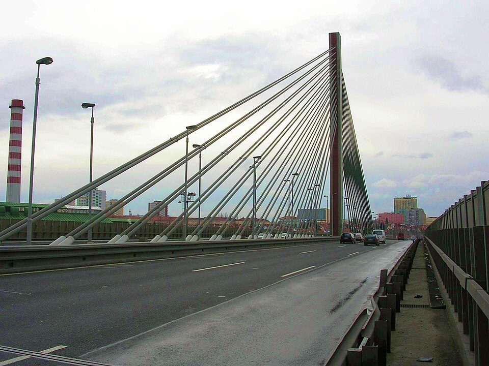
Lanový most is the colloquial, unofficial name of a cable-stayed motorway bridge on Jižní spojka (Městský okruh) in Prague. It carries traffic over the railway Praha – České Budějovice, the throat of Praha-Zahradní Město station, a siding to the former Mitas complex, and Zahradní Město tram loop, skirting Skalka housing estate (Přetlucká and Dolínecká streets).
Text: Wikipedie: Lanový most (Jižní spojka) (opening paragraph, possibly shortened), licensed under CC BY-SA 4.0. Contributors are listed in the article history. This text may be redistributed under the same terms.
Description machine-translated from the original text; help us fix any mistakes. Report an error
Coordinates
50.06156, 14.50859

Coordinates of the feature; for paths and areas, these mark the centre, not a shooting position.
Navigation and sources
Imported data, not yet checked by a person. © OpenStreetMap (ODbL)