Water · imported, unverified
Vodní nádrž Dlouhé stráně - dolní
reservoir
Loučná nad Desnou · Olomoucký kraj · Czech Republic
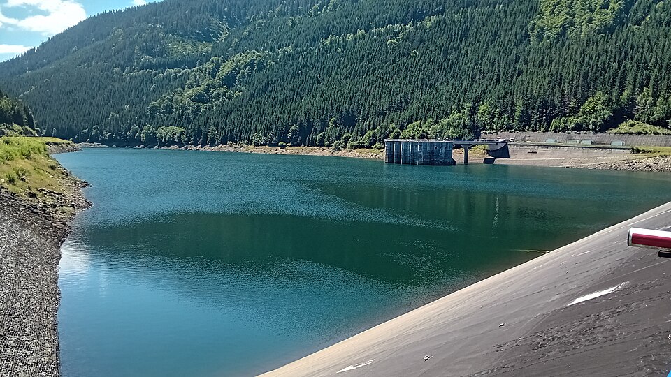
The lower reservoir covers 16.3 ha and lies at an altitude of 825 m. The dam is 306 m long and 58 m high. Water is supplied and drained via two underground conduits, each 1.5 km long with a diameter of 3.6 m, connecting it to the upper reservoir.
Description machine-translated from the original text; help us fix any mistakes. Report an error
Coordinates
50.0816, 17.18257

Coordinates of the feature; for paths and areas, these mark the centre, not a shooting position.
Navigation and sources
Imported data, not yet checked by a person. © OpenStreetMap (ODbL)