Industrial sites · imported, unverified
Belvárosi híd
bridge
Szeged · Csongrád-Csanád megye · Hungary
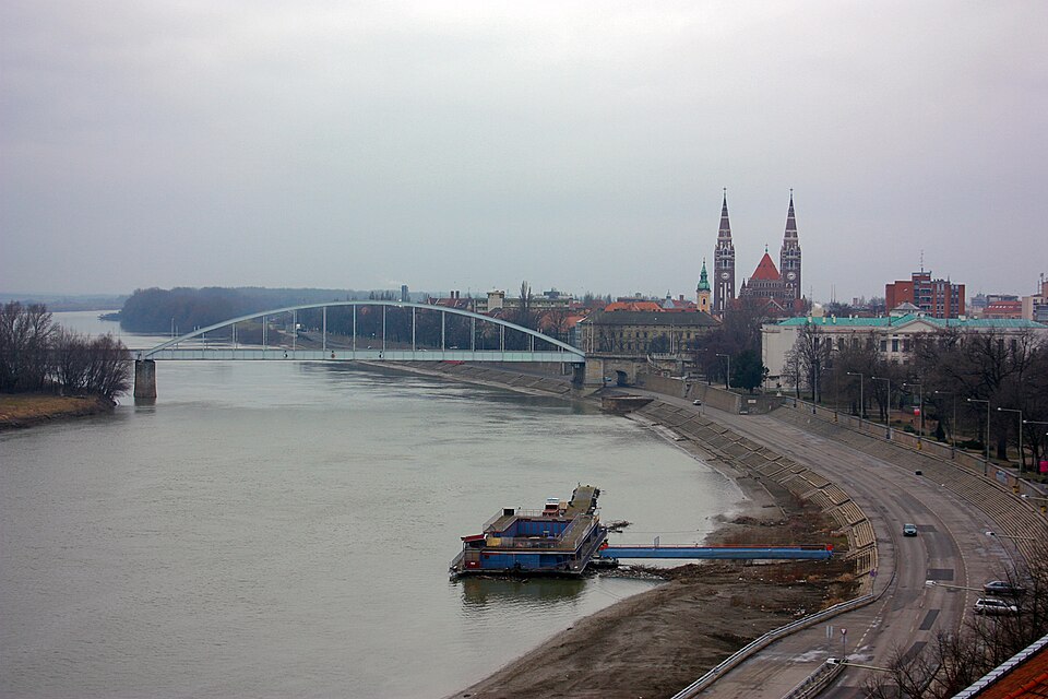
A 469-metre-long road arch bridge spanning the Tisza between central Szeged and Újszeged. Replacing the original crossing opened in 1883 and destroyed in World War II, the current bridge was built by 1948 based on plans by Győző Mihailich.
Text: Wikipédia: Belvárosi híd (Szeged) (opening paragraph, possibly shortened), licensed under CC BY-SA 4.0. Contributors are listed in the article history. This text may be redistributed under the same terms.
Description machine-translated from the original text; help us fix any mistakes. Report an error
Coordinates
46.25049, 20.15444

Coordinates of the feature; for paths and areas, these mark the centre, not a shooting position.
Navigation and sources
Imported data, not yet checked by a person. © OpenStreetMap (ODbL)