Towns, cities and streets · imported, unverified
Krajinský most
bridge
Piešťany · Trnavský kraj · Slovakia
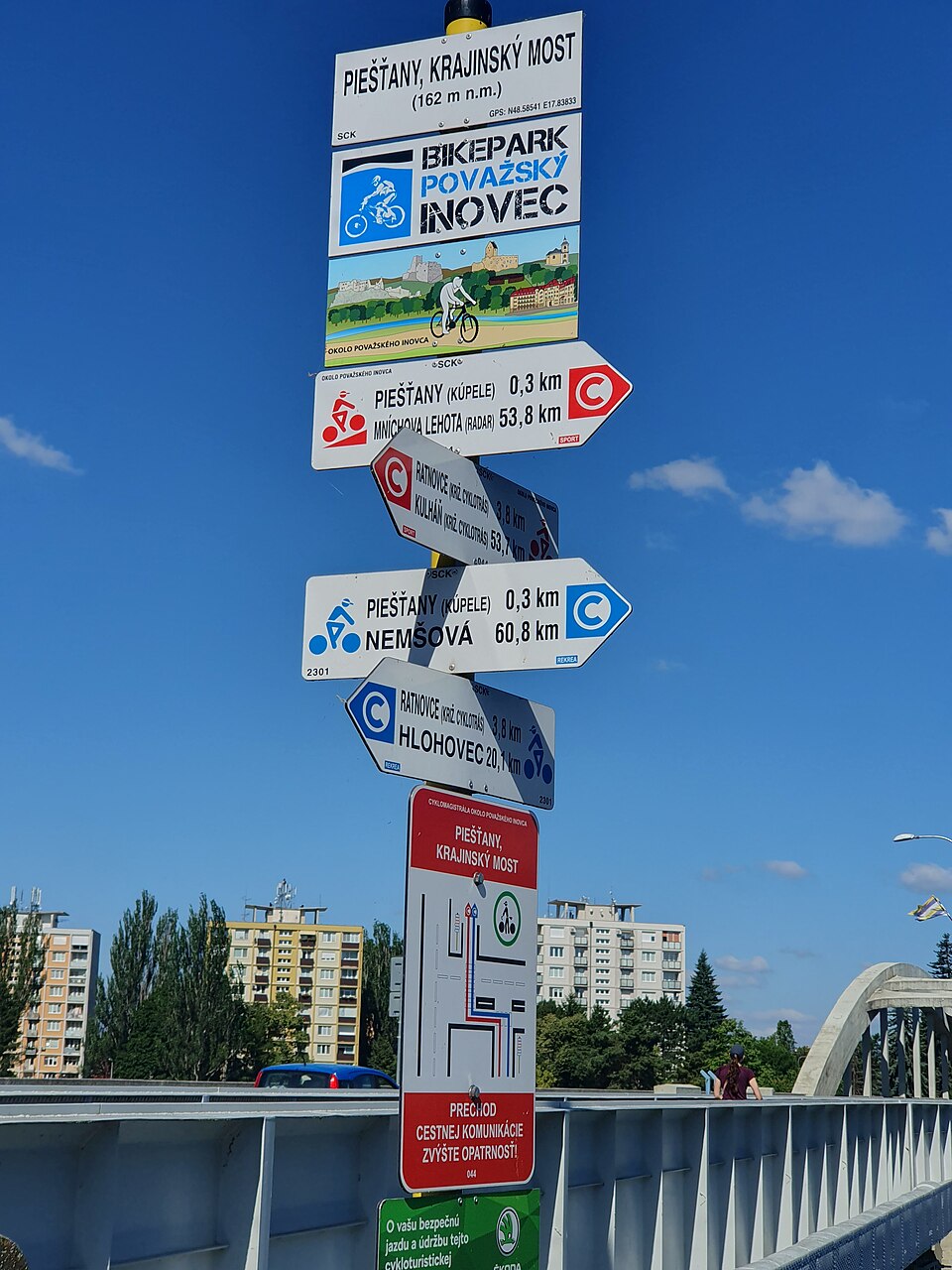
Krajinský most (originally Most T. G. Masaryka) crosses the Váh river in Piešťany. Designed in 1930–1931, it is a protected cultural monument. The reinforced concrete structure has seven spans: a main arch span of 52 m and remaining spans of 29 m. The road deck is suspended from lateral reinforced concrete arches in the main span and supported by lower curved slabs in the narrower spans.
Text: Wikipédia: Krajinský most (Piešťany) (opening paragraph, possibly shortened), licensed under CC BY-SA 4.0. Contributors are listed in the article history. This text may be redistributed under the same terms.
Description machine-translated from the original text; help us fix any mistakes. Report an error
Coordinates
48.58557, 17.83756

Coordinates of the feature; for paths and areas, these mark the centre, not a shooting position.
Navigation and sources
Imported data, not yet checked by a person. © OpenStreetMap (ODbL)