Towns, cities and streets · imported, unverified
Most Kamieniarski
bridge
municipality and region not yet available · Poland
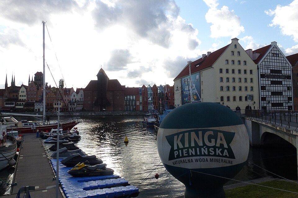
Most Kamieniarski (niem. Steinhauerbrücke) – most w Gdańsku na rzece Motławie, nad Kanałem na Stępce, zwany również Czerwonym i Szafarskim. Łączy wyspę Ołowianka z ul. Szafarnia. Swoją nazwę zawdzięcza gdańskiemu cechowi kamieniarzy. Most jest najbliższym połączeniem kołowym Ołowianki od strony Głównego Miasta. Pozstałe połączenia lądowe z Ołowianką umożliwiają dawny most kolejowy i zwodzona kładka dla pieszych.
Text: Wikipedia: Most Kamieniarski (opening paragraph, possibly shortened), licensed under CC BY-SA 4.0. Contributors are listed in the article history. This text may be redistributed under the same terms.
Description available only in the original language for now.
Coordinates
54.35052, 18.65969

Coordinates of the feature; for paths and areas, these mark the centre, not a shooting position.
Navigation and sources
Imported data, not yet checked by a person. © OpenStreetMap (ODbL)