Towns, cities and streets · imported, unverified
Szentes–csongrádi közúti Tisza-híd
bridge
municipality and region not yet available · Hungary
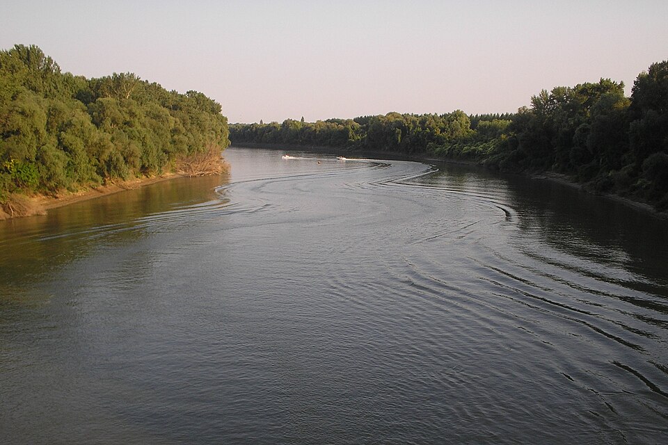
A Szentes és Csongrád közötti közúti Tisza-híd a 451-es számú, Kiskunfélegyháza–Szentes főúton található. A két város között már régóta üzemelt folyami átkelés, itt állt a középkorban Bőd falu, melynek átkelője (a Bődi rév) fontos folyami átkelőhely volt az évszázadok során.
Text: Wikipédia: Szentes–csongrádi közúti Tisza-híd (opening paragraph, possibly shortened), licensed under CC BY-SA 4.0. Contributors are listed in the article history. This text may be redistributed under the same terms.
Description available only in the original language for now.
Coordinates
46.68499, 20.19824

Coordinates of the feature; for paths and areas, these mark the centre, not a shooting position.
Navigation and sources
Imported data, not yet checked by a person. © OpenStreetMap (ODbL)