Architecture · imported, unverified
Klášter Zlatá Koruna
monastery
Zlatá Koruna · Jihočeský kraj · Czech Republic
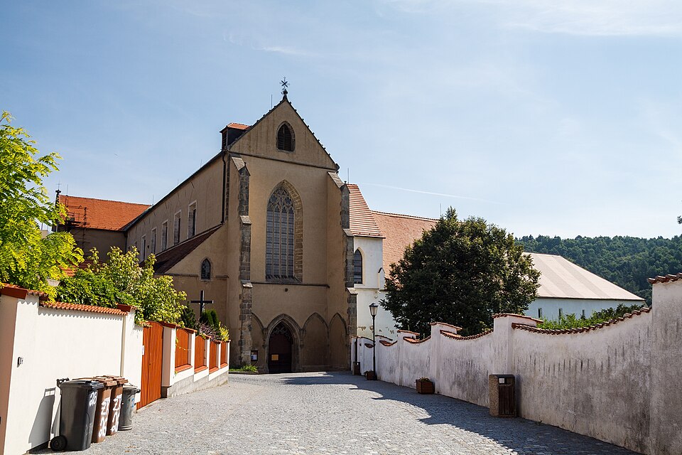
Klášter Zlatá Koruna is located about 8 km from Český Krumlov in the municipality of Zlatá Koruna. The monastery buildings are largely medieval (church, cloister, chapter house, Chapel of the Guardian Angels, abbey), with partial Baroque alterations. The historic village features other Gothic buildings, including the church of St. Margaret and remnants of fortifications. Managed by the National Heritage Institute, it is open to the public.
Text: Wikipedie: Klášter Zlatá Koruna (opening paragraph, possibly shortened), licensed under CC BY-SA 4.0. Contributors are listed in the article history. This text may be redistributed under the same terms.
Description machine-translated from the original text; help us fix any mistakes. Report an error
Coordinates
48.85599, 14.37158

Coordinates of the feature; for paths and areas, these mark the centre, not a shooting position.
Navigation and sources
Imported data, not yet checked by a person. © OpenStreetMap (ODbL)