Architecture · imported, unverified
Fort 50 "Prokocim"
fortress
municipality and region not yet available · Poland
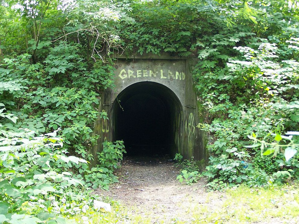
Fort 50 Prokocim – jeden z fortów Twierdzy Kraków. Powstał w latach 1882–1886. Zadaniem fortu była obrona Traktu Lwowskiego. Jest to typowy fort artyleryjski. Razem z sąsiednimi fortami brał udział w zakończonych zwycięstwem walkach z Rosjanami, w grudniu 1914. W okresie międzywojennym służył jako magazyn wojskowy, a później cywilny. W latach 70. XX wieku został przekazany ówczesnej Akademii Medycznej w Krakowie.
Text: Wikipedia: Fort główny artyleryjski 50 „Prokocim” (opening paragraph, possibly shortened), licensed under CC BY-SA 4.0. Contributors are listed in the article history. This text may be redistributed under the same terms.
Description available only in the original language for now.
Coordinates
50.01045, 19.99698

Coordinates of the feature; for paths and areas, these mark the centre, not a shooting position.
Navigation and sources
Imported data, not yet checked by a person. © OpenStreetMap (ODbL)