Water · imported, unverified
Malá Domaša
reservoir
Malá Domaša · Prešovský kraj · Slovakia
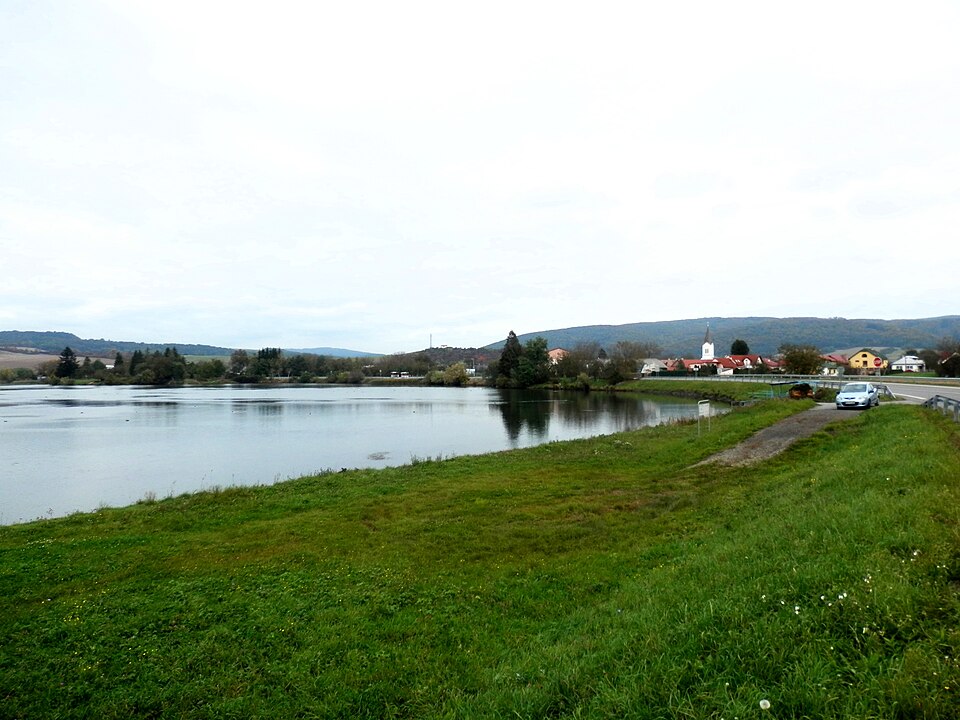
Malá Domaša is a small balancing reservoir for Veľká Domaša in the Ondavská vrchovina. It lies in the Ondava valley between the villages of Slovenská Kajňa and Malá Domaša in eastern Slovakia (Horný Zemplín). It covers around 39 ha, with a length of 1 km and a maximum width of 0.25 km. Built to regulate the Ondava river, it is also used for recreation.
Text: Wikipédia: Malá Domaša (vodná nádrž) (opening paragraph, possibly shortened), licensed under CC BY-SA 4.0. Contributors are listed in the article history. This text may be redistributed under the same terms.
Description machine-translated from the original text; help us fix any mistakes. Report an error
Coordinates
48.97648, 21.70344

Coordinates of the feature; for paths and areas, these mark the centre, not a shooting position.
Navigation and sources
Imported data, not yet checked by a person. © OpenStreetMap (ODbL)