Architecture · imported, unverified
Židovský hřbitov
ruins
Dolní Žandov · Karlovarský kraj · Czech Republic
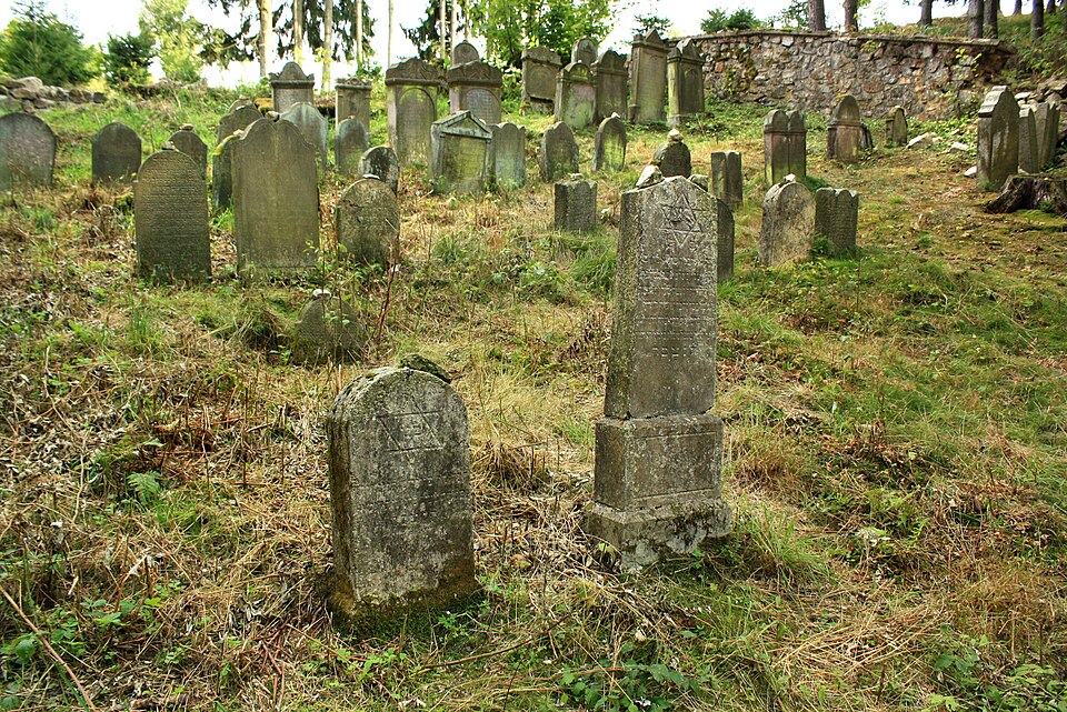
The Jewish cemetery in Úbočí is located 150 m southwest of the edge of the village of Úbočí, part of Dolní Žandov. It lies in the forest to the left of the road III/21213 leading west to Dolní Žandov, accessible via a path along Hradní rybník. In 2005 it was repaired and fallen tombstones were raised. The entrance gate is missing, and the wall is partly repaired but ruined in several places.
Text: Wikipedie: Židovský hřbitov v Úbočí (opening paragraph, possibly shortened), licensed under CC BY-SA 4.0. Contributors are listed in the article history. This text may be redistributed under the same terms.
Description machine-translated from the original text; help us fix any mistakes. Report an error
Coordinates
50.02589, 12.56126

Coordinates of the feature; for paths and areas, these mark the centre, not a shooting position.
Navigation and sources
Imported data, not yet checked by a person. © OpenStreetMap (ODbL)